- Description
- Information
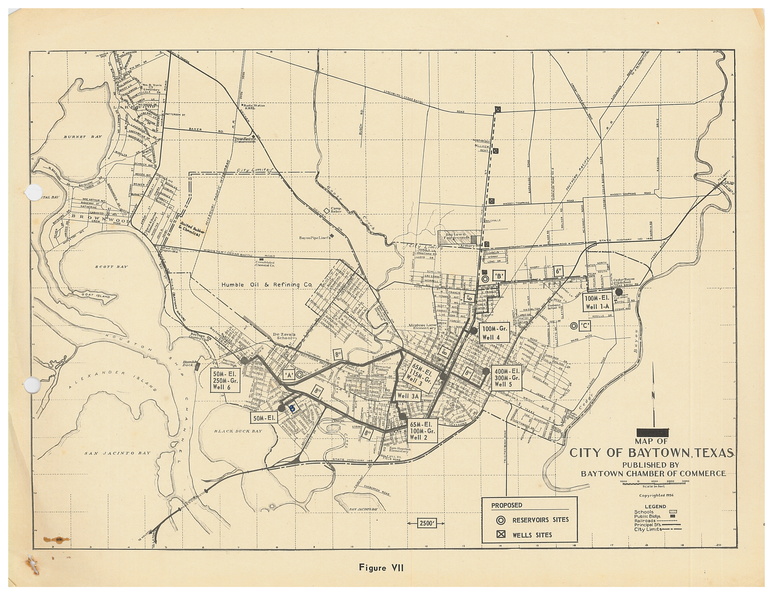
Baytown Chamber of Commerce map from 1956, with wells marked. This map was used in a study compiled by T. L. Satterwhite in 1957, entitled "Water for the City of Baytown: A Study of Projected Municipal Water Demands for the Greater Baytown Area 1957-1975".
- Author
- Baytown Chamber of Commerce
- Posted on
- Tuesday 23 February 2021
- Dimensions
- 4416*3392
- Filesize
- 2145 KB
- Tags
- 1950s, Baytown, Chamber of Commerce, water
- Albums
- Visits
- 3610